")
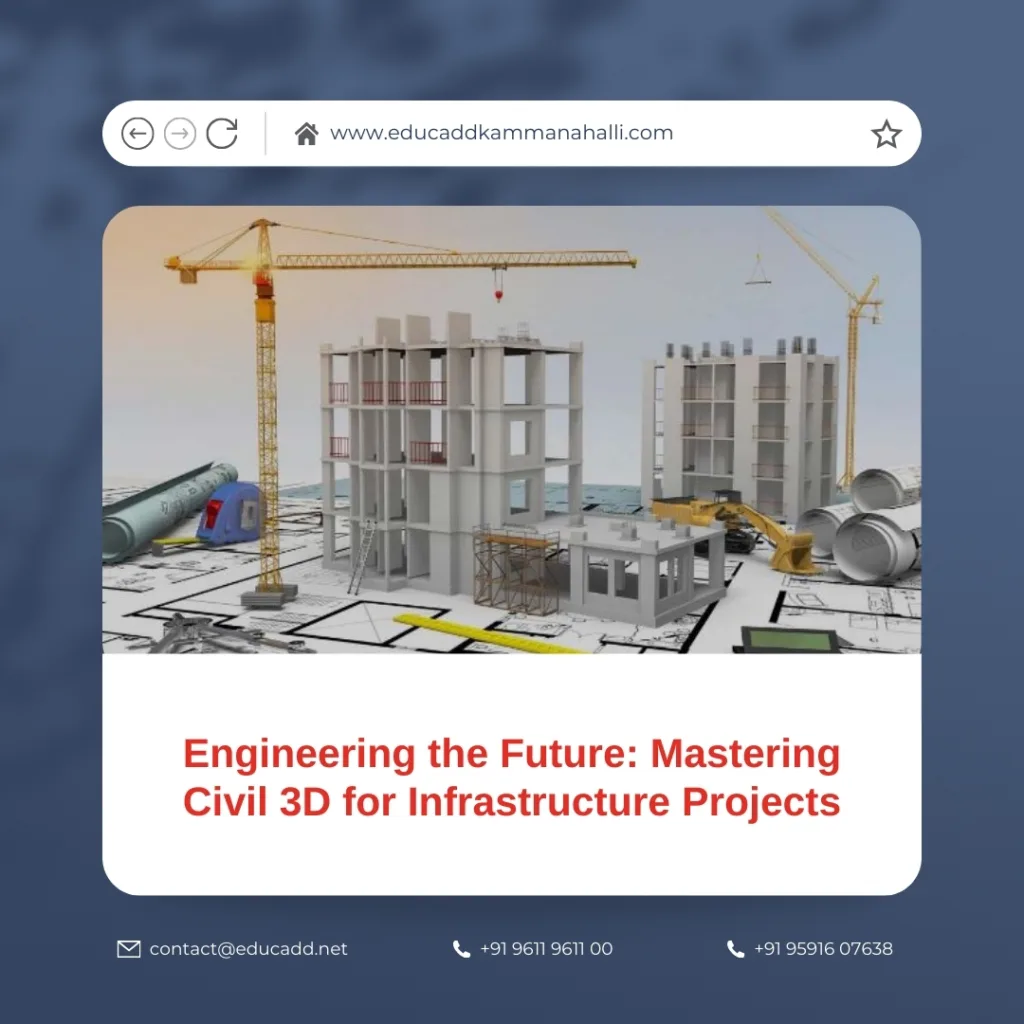
Engineering the Future: Mastering Civil 3D for Infrastructure Projects
Infrastructure development is evolving rapidly as cities expand, transportation networks grow, and urban utilities become more complex. Today’s engineering teams must manage tight deadlines, vast datasets, and demanding design standards. This makes advanced digital tools essential for delivering accurate and coordinated results. Among these tools, Civil 3D Infrastructure Design stands out as one of the most powerful solutions available. It supports a complete workflow that covers planning, design, analysis, and documentation in one unified environment.
Civil 3D Infrastructure Design
Civil 3D Infrastructure Design productivity by connecting design elements with intelligent relationships. Engineers can explore design alternatives, check for clashes, automate documentation, and maintain consistency across large project teams. This blog expands on the practical side of Civil 3D. It focuses on real industry workflows, simplified explanations, and clear examples that reflect daily engineering challenges. Whether you are a student, a beginner, or a working professional, this guide helps you understand how Civil 3D transforms modern infrastructure design.
1. Understanding the Power of Civil 3D in Modern Infrastructure
Civil 3D has become the backbone of digital engineering. Its strength lies in its intelligent object-based design system. Instead of relying on static drawings, Civil 3D builds models that adapt to design changes. When one modification occurs, the connected components update automatically. This dynamic behavior saves countless hours and reduces the possibility of manual errors.
Civil 3D supports the entire lifecycle of an infrastructure project. It starts with data collection, extends into design, and continues through construction documentation. This smooth flow reduces design interruptions and enhances team communication. Large organizations prefer Civil 3D because it integrates with BIM standards, GIS data, survey equipment, and cloud-based collaboration platforms.
Moreover, Civil 3D brings automation into repetitive tasks. Profile creation, contour generation, section views, quantity calculations, and sheet production require minimal manual drafting. The software simplifies drainage networks, utility layouts, and grading features. These automation tools allow teams to invest more time in problem-solving and innovation.
Another advantage is the accessibility of 3D visualization. A 3D model communicates design intent faster than traditional 2D drawings. Stakeholders, contractors, and decision-makers understand the project better when it is visualized in a realistic environment. Errors become easier to detect, and design revisions happen earlier in the process.
Civil 3D also links seamlessly with other Autodesk tools. When combined with InfraWorks, Navisworks, and Recap, it expands into a complete digital ecosystem. This ecosystem supports simulation, clash detection, and construction planning. Therefore, Civil 3D for Infrastructure Projects is not just a software tool — it is an entire digital workflow.
2. Building Accurate Base Maps and Terrain Models
Every successful infrastructure project begins with accurate site data. Civil 3D excels in converting raw survey inputs into clean and intelligent digital terrain. Designing on an accurate base reduces risk, prevents redesigns, and improves overall project confidence.
Civil 3D accepts data from a wide range of sources. These include drone surveys, total stations, GPS rovers, LiDAR scans, and GIS databases. As soon as the data imports, it transforms into intelligent survey points. These points group into point clouds, breaklines, and feature lines. Once connected, they form a detailed surface model.
For Civil 3D for Infrastructure Projects, surface modeling is a major advantage. Engineers can create existing ground surfaces, compare them with proposed surfaces, and manage grading strategies with precision. They can also identify key characteristics such as slopes, basins, high points, low points, and watershed boundaries.
Terrain analysis becomes easier with Civil 3D. Slope maps, elevation bands, contour styles, and surface reports help engineers understand the land. These tools support early decision-making during route selection, drainage planning, and earthworks management.
Civil 3D also supports real-time updates. When survey teams collect additional data, the surfaces update automatically. This keeps the model accurate throughout the project. If design elements change, the surface reacts instantly without manual redrafting.
In complex terrain, engineers use Civil 3D to build composite surfaces. These represent multiple survey datasets merged into a single refined model. The software filters unnecessary points, fixes surface gaps, and improves accuracy. These features enable smoother alignment design and better grading control.
3. Creating Alignments, Profiles, and Corridors with Precision
Alignments form the foundation of transportation and utility infrastructure. They define the horizontal and vertical geometry of roads, highways, railways, pipelines, and canals. Civil 3D simplifies alignment creation with tools that ensure accuracy and compliance with standards.
Horizontal alignments begin with design constraints. These include route options, intersection points, and geometric regulations. Civil 3D lets engineers lay out tangents, curves, spirals, and transition zones with precision. Every component includes properties that update automatically during design changes.
Next comes vertical alignment. Engineers use profiles to understand how the route interacts with the terrain. The existing ground profile displays natural elevation changes. The proposed profile represents the optimized vertical path. Civil 3D offers tools to adjust gradients, control slopes, and refine vertical curves.
Corridor modeling merges alignments, profiles, and assemblies to build a dynamic 3D design. This 3D corridor includes road lanes, shoulders, sidewalks, ditches, drainage channels, and subgrades. Each assembly reacts to design modifications instantly.
Corridor models provide several important benefits:
-
Clear 3D visualization
-
Accurate earthwork quantities
-
Automated section views
-
Real-time design corrections
-
Improved stakeholder communication
Corridor analysis becomes easier with Civil 3D’s built-in tools. Engineers can identify sharp turns, steep slopes, or areas needing additional safety features. Civil 3D also assists with superelevation, lane widening, and transitions between different road types.
For Civil 3D for Infrastructure Projects, this workflow is one of the most valuable. It allows teams to create complex transportation networks with greater confidence and reduced manual effort.
4. Designing and Managing Drainage, Utilities, and Earthworks
Modern infrastructure demands well-designed drainage networks. Efficient stormwater and wastewater systems prevent flooding, protect structures, and support sustainable development. Civil 3D makes drainage design simple by providing intelligent pipe network tools.
Engineers can create complete underground networks that include pipes, inlets, junctions, manholes, hydrants, and valves. Civil 3D ensures each component connects properly and follows the correct slope. The software calculates invert levels, pipe sizes, and cover depths instantly.
When using Civil 3D for Infrastructure Projects, teams can integrate hydrology and hydraulics. Catchment areas, flow paths, rainfall intensities, and runoff patterns become clear. Engineers can evaluate whether inlets have sufficient capacity or if redesign is needed.
Utility design becomes easier with Civil 3D as well. Water supply lines, gas networks, electrical ducts, and telecom conduits can be modeled in 3D. These underground utilities often clash with roadworks or structures. Civil 3D identifies these conflicts early, saving time and reducing costly field corrections.
Earthwork design also becomes more efficient. Civil 3D calculates cut-and-fill volumes based on surfaces, corridors, and grading objects. Engineers can optimize earth movement, reduce waste, and control project costs. The software displays clear volume reports that are useful for contractor negotiations and tender documentation.
Civil 3D supports advanced grading features used in parking lots, land development sites, industrial zones, and commercial layouts. Feature lines and grading objects help build complex platforms with controlled slopes, pads, and boundaries.
Overall, this workflow improves the precision, safety, and efficiency of large-scale engineering projects.
5. Automating Documentation, Collaboration, and Construction Outputs
Documentation is the final stage of every engineering project. Plans, profiles, sections, quantity lists, and reports must remain accurate and consistent. Civil 3D automates these outputs with minimal effort.
Plan production tools generate drawing sheets based on pre-set templates. Engineers can create dozens of sheets for long roads or pipelines within minutes. These sheets update automatically when the design changes. This reduces repetitive drafting and ensures the drawings stay correct.
For Civil 3D for Infrastructure Projects, collaboration is another major benefit. Data shortcuts and external references allow multiple teams to work on the same model without conflict. Surveyors, roadway designers, drainage teams, and utility planners can coordinate easily.
Civil 3D also integrates with cloud platforms such as BIM 360 and Autodesk Construction Cloud. This real-time connectivity improves communication between office and field teams. Contractors receive updated drawings without delay, reducing misunderstandings.
Civil 3D supports automated quantity takeoffs as well. Earthwork volumes, material quantities, and pay items generate instantly. These reports help procurement teams order materials and maintain accurate budgets.
During construction, Civil 3D delivers models suitable for machine control systems. Modern excavators, graders, and pavers rely on these digital models for precision. This technology speeds up construction, reduces manual staking, and minimizes material waste.
Thus, Civil 3D becomes a vital tool not only during design but also during construction execution.
Conclusion
Infrastructure design demands accuracy, speed, and strong collaboration. Civil 3D Infrastructure Design offers a powerful platform that supports every stage of the engineering process. From survey data to terrain modeling, corridor creation, drainage design, utility planning, and construction documentation, Civil 3D enhances efficiency and quality.
Its intelligent design objects, automated workflows, and seamless collaboration make it essential for today’s engineering professionals. Whether you work on roads, railways, utilities, or land development projects, Civil 3D helps you deliver better results with fewer errors.
As technology continues to transform the engineering industry, mastering Civil 3D becomes a critical skill. It opens doors to advanced workflows, digital construction methods, and long-term career growth. With the right knowledge and practice, engineers can shape the world’s future infrastructure with confidence and clarity.

