")
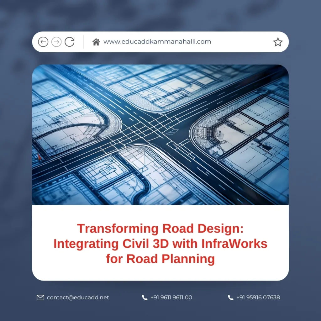
Transforming Road Design: Integrating Civil 3D with InfraWorks for Road Planning
Road infrastructure planning is evolving rapidly, thanks to technological advancements in civil engineering software. Among the most powerful combinations available today is Civil 3D InfraWorks Integration. This integration streamlines the design workflow, enables data-driven decision-making, and enhances visualization accuracy. Engineers, planners, and designers can leverage these tools to create more sustainable, cost-effective, and precise road networks. This blog explores how the integration works, its advantages, practical applications, and best practices to optimize road planning.
Civil 3D InfraWorks Integration
Understanding Civil 3D and InfraWorks
Civil 3D is a comprehensive civil engineering design software developed by Autodesk. It provides robust tools for corridor modeling, alignment design, grading, and drafting. Engineers use Civil 3D for precise calculations, detailed drawings, and ensuring compliance with standards. On the other hand, InfraWorks is a conceptual design and visualization tool that helps planners create realistic 3D models of infrastructure projects. InfraWorks excels in scenario planning, environmental analysis, and communicating design intent to stakeholders. Together, these tools bridge the gap between conceptual design and detailed engineering.
The Need for Integrated Workflows
Traditional road planning often requires switching between multiple software platforms, resulting in inefficiencies, errors, and repeated data entry. By integrating Civil 3D with InfraWorks, engineers can synchronize design data seamlessly. This integrated workflow reduces redundancy, ensures accuracy, and enables real-time updates across platforms. As a result, design decisions are faster and more informed. Integration also supports multidisciplinary collaboration, allowing architects, civil engineers, and environmental analysts to work on a unified platform.
How Integration Works
The Civil 3D InfraWorks Integration data into InfraWorks or connecting the two applications through Autodesk’s data management systems. Civil 3D models, including alignments, surfaces, corridors, and profiles, can be imported into InfraWorks, where designers can perform visual analyses and simulate real-world scenarios. Changes made in InfraWorks can be exported back into Civil 3D, ensuring that all updates reflect in the detailed engineering model. This bidirectional workflow creates a continuous loop of data refinement and visualization.
Benefits of Visualizing Road Designs in InfraWorks
InfraWorks allows engineers to visualize roads in a real-world context. Designers can overlay existing terrain, evaluate sight distances, analyze environmental impact, and simulate traffic flow. Integrating Civil 3D with InfraWorks for road planning enhances these capabilities by providing highly detailed engineering data for accurate visualization. Decision-makers can better understand project implications, while engineers can identify potential design conflicts early. The visual feedback reduces costly revisions during construction and ensures stakeholder buy-in.
Enhancing Accuracy with Civil 3D Data
Civil 3D is renowned for precision in engineering calculations. Alignments, grading, and cross-sections created in Civil 3D are mathematically accurate, ensuring compliance with design standards. When integrated with InfraWorks, these accurate models improve visualization fidelity. Designers can simulate earthworks, cut-and-fill operations, and corridor behavior with confidence. Additionally, integration ensures that design changes in Civil 3D automatically propagate to InfraWorks, minimizing errors and enhancing overall accuracy.
Facilitating Collaboration Among Teams
Infrastructure projects often involve multiple teams with different roles. Integrating Civil 3D with InfraWorks fosters collaboration by providing a shared environment for design and visualization. Civil engineers can focus on technical accuracy, while planners and architects can explore design alternatives. Stakeholders can review realistic models, provide feedback, and approve changes more efficiently. The integration reduces miscommunication and aligns everyone towards a unified project vision, improving workflow efficiency across the board.
Time and Cost Efficiency
Time and budget constraints are critical in road planning. Integration minimizes repetitive tasks, reduces data translation errors, and accelerates project delivery. Engineers spend less time manually transferring data and more time refining design elements. Visual simulations in InfraWorks allow early detection of costly mistakes, reducing the likelihood of expensive revisions during construction. As a result, projects can be completed faster, with better adherence to budgets, while maintaining high-quality engineering standards.
Scenario Planning and Decision Support
InfraWorks enables scenario-based planning, which is crucial for complex road networks. Engineers can model multiple design alternatives, evaluate environmental constraints, and simulate traffic conditions. When Civil 3D models are integrated, the scenarios become grounded in engineering reality. This integration supports data-driven decision-making, allowing planners to choose the optimal route alignment, earthwork balance, and cost-effective solutions. Scenario planning improves risk management and enhances project sustainability.
Managing Large Datasets
Road planning often involves large datasets, including topography, survey points, GIS data, and traffic analysis. Integrating Civil 3D with InfraWorks allows engineers to manage these datasets efficiently. Civil 3D organizes detailed design data, while InfraWorks provides intuitive visualization of the same information. Engineers can combine multiple data sources, analyze complex interactions, and maintain data integrity. Efficient data management reduces errors and ensures smoother project execution from conceptual design to construction.
Environmental Impact Assessment
Modern road projects require careful consideration of environmental impacts. InfraWorks offers tools to analyze watersheds, vegetation, and terrain interaction with proposed roads. When combined with Civil 3D data, these assessments become highly detailed and actionable. Engineers can simulate erosion, stormwater management, and earthwork volumes accurately. The integration ensures that sustainability factors are incorporated early in the design process, helping planners meet environmental regulations and reduce ecological disruption.
Real-World Case Studies
Several infrastructure projects worldwide demonstrate the advantages of integrating Civil 3D with InfraWorks for road planning. Urban highways, rural road networks, and bridge approaches have benefited from streamlined workflows and enhanced visualization. Case studies reveal reduced project timelines, cost savings, and improved stakeholder satisfaction. By adopting this integration, companies can replicate proven strategies and achieve similar results, reinforcing the value of modern design software in civil engineering.
Best Practices for Integration
Successful integration requires careful planning and adherence to best practices. Engineers should maintain consistent coordinate systems, standardize data naming conventions, and validate data before transfer. Regular synchronization between Civil 3D and InfraWorks ensures that updates are accurately reflected. Teams should leverage templates, pre-configured styles, and automated workflows to save time. Training and documentation are essential to ensure that all team members understand the workflow and maximize software capabilities.
Overcoming Challenges
While integration offers significant benefits, it can present challenges. File compatibility, large dataset handling, and version control require careful attention. Engineers must manage software updates, system requirements, and hardware limitations. Addressing these challenges involves setting clear protocols, performing regular backups, and investing in high-performance computing resources. By proactively managing these issues, teams can ensure that integration enhances productivity without causing delays or errors.
Future of Road Planning with Software Integration
The future of road planning lies in leveraging integrated software platforms. Combining Civil 3D InfraWorks Integration is just the beginning. Emerging technologies such as BIM for infrastructure, AI-assisted design, and cloud collaboration will further transform workflows. Integration will enable predictive modeling, automated clash detection, and enhanced stakeholder communication. Engineers who adopt these innovations will gain a competitive edge, deliver projects faster, and create smarter, more sustainable infrastructure.
Conclusion
Civil 3D InfraWorks Integration for road planning represents a paradigm shift in infrastructure design. It streamlines workflows, improves accuracy, fosters collaboration, and enhances visualization. Engineers can make informed decisions, minimize errors, and optimize both time and cost efficiency. By embracing this integration, civil engineering teams can tackle complex projects with confidence, ensuring high-quality road networks that meet modern standards. The synergy between these powerful tools is shaping the future of road planning, offering a seamless bridge between conceptual design and precise engineering.

