")
Transforming Land Development: Mastering Surveying to BIM for Smarter Projects
Land development today requires more than traditional surveying tools and basic drafting. The industry is evolving rapidly, and the shift from Surveying to BIM Development (Building Information Modeling) is revolutionizing how land developers, engineers, and construction professionals approach projects. By embracing this transformation, professionals can move beyond 2D drawings and static layouts into dynamic, data-rich models that improve accuracy, collaboration, and project outcomes.
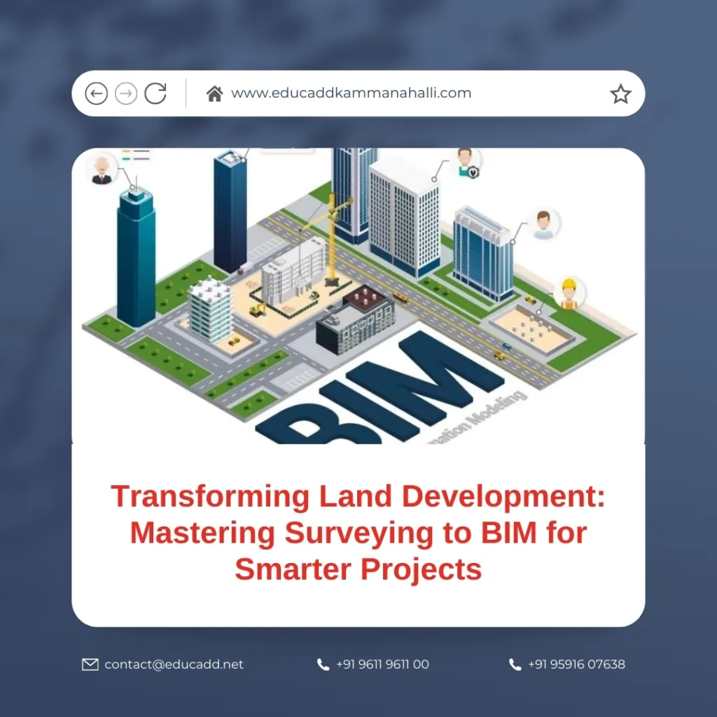
Surveying to BIM Development
This blog explores Surveying to BIM in detail, explains how it empowers land development, and highlights techniques that help professionals succeed in this competitive field. With practical insights and structured learning, you will discover how technology transforms surveying workflows into intelligent BIM-driven processes.
The Evolution from Surveying to BIM in Land Development
Land development begins with surveying, the process of measuring, mapping, and analyzing the land. For centuries, surveying relied on manual instruments, field sketches, and later, CAD-based drafting. While these methods served their purpose, they often lacked precision, collaboration, and real-time adaptability.
The shift from traditional surveying to BIM has created new opportunities. Survey data is no longer limited to static maps. Instead, it integrates directly into digital models that represent terrain, boundaries, infrastructure, and utilities with remarkable detail. These BIM models serve as living databases, continuously updated and shared across teams.
Transitioning to BIM means surveyors and developers can:
-
Visualize terrain in 3D.
-
Detect design conflicts early.
-
Optimize land use with accurate data.
-
Share real-time information with architects and engineers.
The result is a more holistic approach to land development where surveying becomes the foundation of intelligent design and construction.
Key Benefits of Using Surveying to BIM in Land Development
The move from surveying to BIM brings several advantages for land development projects. Let’s explore the most impactful benefits.
1. Higher Accuracy and Precision
Surveying data captured through GPS, drones, and laser scanning feeds directly into BIM platforms. This reduces errors and ensures every elevation, boundary, and slope is represented with accuracy. Developers can trust that their designs align perfectly with the site’s real-world conditions.
2. Better Collaboration Among Teams
One of the most significant advantages of BIM is collaboration. Surveyors, civil engineers, architects, and contractors can all access the same 3D model. With centralized data, miscommunication decreases, and project efficiency improves.
3. Cost Savings Through Early Conflict Detection
BIM models help identify potential issues before construction begins. For example, underground utilities or steep slopes can be spotted early, reducing costly rework and delays. This proactive approach leads to better budgeting and planning.
4. Sustainable Land Development
Sustainability is a growing concern in land development. With BIM, developers can analyze environmental impacts, optimize land use, and design greener projects. Energy simulations, stormwater management models, and terrain analyses support eco-friendly development.
5. Streamlined Construction Workflows
Survey data combined with BIM accelerates project timelines. Machine control systems, site grading, and earthwork are guided by accurate models, reducing waste and improving productivity on-site.
Clearly, BIM transforms surveying from a basic measurement task into a critical driver of project success.
Techniques to Master Surveying to BIM for Land Development
Transitioning from traditional surveying to BIM requires more than new software—it demands a shift in skills and techniques. Below are proven strategies for mastering this integration.
1. Adopting Advanced Surveying Tools
Modern surveying uses cutting-edge technology:
-
Drones/UAVs for aerial mapping and photogrammetry.
-
LiDAR scanners for high-resolution 3D terrain models.
-
GPS and GNSS systems for precise geospatial data.
These tools capture highly accurate data that seamlessly integrates with BIM software. Surveyors must master these technologies to remain competitive.
2. Building Strong BIM Skills
BIM platforms like Autodesk Civil 3D, Revit, and InfraWorks are central to land development workflows. Professionals must learn how to import survey data, create terrain surfaces, and model infrastructure. Advanced skills in clash detection, visualization, and quantity take-offs also add value.
3. Understanding Land Development Regulations
Surveying to BIM goes beyond technology—it also requires knowledge of zoning laws, property rights, and municipal codes. Incorporating these regulations into BIM ensures compliance and avoids legal hurdles.
4. Enhancing Data Management Practices
BIM models serve as a central database for the project. Strong data management practices, including standardized file naming, cloud storage, and version control, ensure smooth collaboration. Teams must handle large datasets efficiently to maximize the potential of BIM.
5. Continuous Learning and Training
Technology evolves rapidly. Land development professionals should invest in regular training to stay updated on the latest surveying and BIM practices. Certification programs and online courses help build expertise and maintain a competitive edge.
Challenges in Transitioning from Surveying to BIM
Despite the benefits, moving from surveying to BIM presents challenges. Understanding these obstacles can help teams prepare better.
High Initial Investment
Adopting BIM requires investment in hardware, software, and training. Smaller firms may struggle to justify these costs. However, long-term savings often outweigh the upfront expenses.
Resistance to Change
Surveyors and engineers accustomed to traditional methods may resist adopting BIM. Overcoming this requires strong leadership, training, and clear communication about the benefits.
Data Integration Issues
Survey data may come in various formats, and integrating it into BIM software can be complex. Choosing the right tools and workflows ensures smooth data conversion.
Skill Gaps in the Workforce
Not all professionals have the technical expertise required for BIM. Firms must invest in upskilling employees or hiring specialists.
Project-Specific Limitations
Certain small-scale projects may not require full BIM integration. In such cases, adopting a hybrid approach with partial BIM workflows is practical.
By addressing these challenges, land developers can unlock the full potential of surveying to BIM.
The Future of Land Development with Surveying to BIM
The future of land development lies in smarter, data-driven processes, and BIM plays a central role. Trends shaping this future include:
-
AI and Machine Learning Integration: Predictive models will help forecast land use patterns, environmental impacts, and construction timelines.
-
Digital Twins: Land development projects will increasingly use digital twins—real-time replicas of physical environments—for monitoring and decision-making.
-
Cloud Collaboration: Cloud-based BIM will allow remote teams to work together seamlessly, speeding up project delivery.
-
Augmented Reality (AR) and Virtual Reality (VR): These technologies will enhance visualization, allowing stakeholders to explore developments before they are built.
-
Greater Focus on Sustainability: Governments and communities demand eco-friendly projects, and BIM provides the tools to analyze and reduce environmental impacts.
In the coming years, professionals who master surveying to BIM will lead the land development industry into a smarter, more sustainable future.
Conclusion
The transition from surveying to BIM represents one of the most significant shifts in land development techniques. By combining accurate surveying data with intelligent modeling, professionals unlock new opportunities for precision, collaboration, and sustainability.
Land developers, surveyors, and engineers who embrace this transformation will not only streamline workflows but also create smarter, more sustainable communities. With the right tools, skills, and mindset, mastering surveying to BIM ensures a future where land development is efficient, innovative, and environmentally responsible.

