")
Urban Planning with BIM: Laying the Digital Blueprint for the Smart Cities of Tomorrow
Cities are living systems. They grow, adapt, and respond to human needs. However, rapid urbanization places intense pressure on land, infrastructure, and resources. Traditional urban planning methods often rely on fragmented data and static drawings. As a result, many cities struggle with congestion, inefficiency, and environmental stress. Urban Planning with BIM introduces a smarter way forward. Building Information Modeling allows planners to move beyond two-dimensional thinking. It creates intelligent digital representations of urban environments. These models contain geometry, data, relationships, and performance metrics.
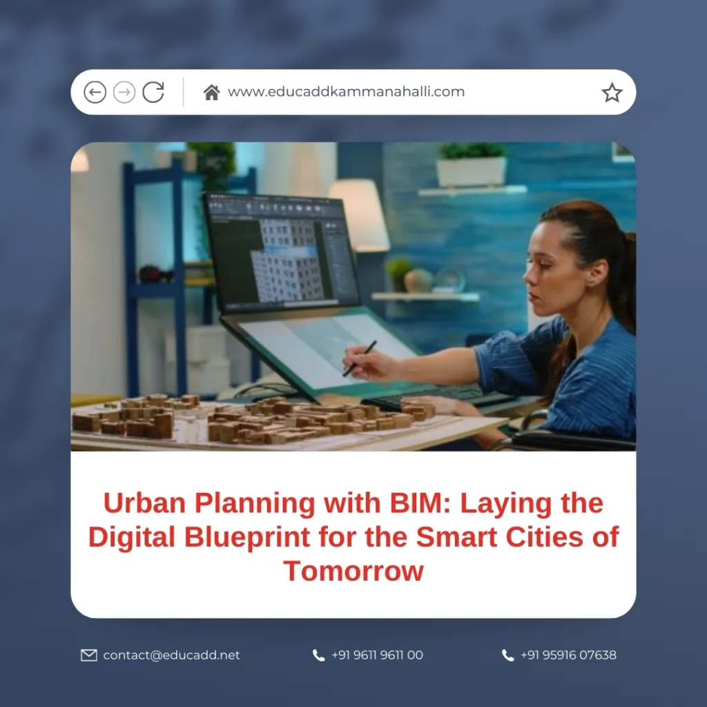
Urban Planning with BIM
With Urban Planning, planners can visualize entire districts before construction begins. They can analyze how buildings, roads, utilities, and public spaces interact. This digital clarity reduces risk and improves long-term outcomes. Smart cities no longer rely on assumptions. Instead, they grow through informed, data-driven decisions.
1. Urban Planning with BIM: From Static Maps to Intelligent City Models
Urban Planning with BIM once depended heavily on paper maps and disconnected CAD files. While these tools served their purpose, they lacked intelligence. They could not adapt, analyze, or predict outcomes. Urban Planning with BIM changes this limitation entirely.
BIM creates a shared digital environment where every urban element connects logically. Roads link to traffic data. Buildings connect to energy models. Utilities integrate with maintenance schedules. Each component communicates within a single system.
Moreover, Urban Planning with BIM supports multi-scale planning. Planners can zoom from a city-wide view down to individual assets. This flexibility improves coordination and accuracy. It also allows planners to test ideas without real-world consequences.
As cities grow more complex, intelligent models replace static representations. BIM transforms planning into an ongoing, adaptive process rather than a one-time activity.
2. Creating Smart Cities Through Integrated Digital Infrastructure
Smart cities rely on seamless infrastructure coordination. Transportation, energy, water, and communication systems must work together. Urban Planning with BIM enables this integration at the planning stage.
BIM models serve as digital infrastructure hubs. They combine physical assets with operational data. For example, planners can simulate traffic patterns and adjust road networks accordingly. They can analyze public transport efficiency before implementation.
Urban Planning with BIM also enhances interoperability. BIM connects with IoT platforms and city management systems. Sensors feed real-time data into models. This allows cities to monitor performance continuously.
As a result, infrastructure becomes proactive rather than reactive. Cities respond faster to challenges and optimize services effectively. BIM becomes the backbone of truly smart urban ecosystems.
3. Sustainability and Climate-Responsive Urban Design
Sustainability is no longer optional in urban development. Cities must reduce emissions, manage resources wisely, and protect ecosystems. Urban Planning with BIM plays a critical role in achieving these goals.
BIM tools allow planners to evaluate environmental impact early. They analyze solar exposure, wind behavior, and shading patterns. This helps optimize building placement and street orientation. Consequently, cities reduce energy consumption naturally.
Urban Planning also supports water-sensitive design. Planners can model drainage systems, flood zones, and green infrastructure. These insights improve resilience against climate risks.
Furthermore, BIM supports lifecycle sustainability. Cities can evaluate material performance over decades. This reduces maintenance costs and environmental impact. Sustainable planning becomes measurable and actionable.
4. Infrastructure Coordination, Cost Control, and Risk Reduction
Urban infrastructure projects often face delays and budget overruns. Poor coordination causes conflicts between systems. Urban Planning with BIM addresses these challenges directly.
BIM detects clashes between utilities, roads, and structures before construction begins. This early detection prevents costly rework. It also improves scheduling accuracy.
Urban Planning with BIM enhances cost transparency. Planners generate accurate quantity estimates and forecasts. This improves financial planning and public accountability.
Risk management also improves significantly. Cities can simulate construction phases and operational scenarios. This proactive approach minimizes uncertainty and improves decision confidence.
5. Human-Centered Urban Design and Improved Quality of Life
Cities exist for people. Therefore, urban planning must prioritize livability and inclusivity. BIM supports human-centered design through visualization and data analysis.
BIM models help planners evaluate walkability, accessibility, and public space quality. They can test pedestrian flow, visibility, and safety. These insights improve urban comfort and usability.
Urban Planning with BIM also improves stakeholder engagement. Citizens understand proposals better through 3D visualization. This transparency builds trust and encourages collaboration.
By aligning design with human needs, cities become more inclusive and vibrant. BIM ensures that growth enhances everyday life rather than disrupting it.
6. Advanced Technology Integration: BIM, GIS, AI, and Digital Twins
Urban Planning becomes even more powerful when integrated with other technologies. GIS adds spatial intelligence and geographic context. AI introduces predictive capabilities.
Through BIM-GIS integration, planners analyze land use, zoning, and environmental constraints accurately. AI models forecast population growth, traffic demand, and energy needs.
Urban Planning with BIM also enables digital twins. These dynamic city replicas update continuously with real-world data. Planners monitor performance and test future scenarios safely.
This convergence transforms planning into a living system. Cities evolve intelligently rather than reactively.
7. Implementation Challenges and the Path to Scalable Adoption
Despite its advantages, Urban Planning requires careful implementation. Data governance remains a common challenge. Standardization ensures consistency across stakeholders.
Skill development also plays a vital role. Cities must invest in training planners and engineers. Collaborative workflows demand cultural change as well as technical capability.
However, these challenges are temporary. The long-term benefits of Urban Planning with BIM far outweigh initial barriers. Clear strategies and leadership drive successful adoption.
Conclusion
Cities shape human experience. Their design influences health, mobility, and opportunity. Traditional planning tools can no longer meet modern demands. Urban Planning with BIM offers a smarter, more resilient alternative.
By integrating data, technology, and collaboration, BIM transforms how cities are planned and managed. It improves sustainability, efficiency, and quality of life. Most importantly, it empowers cities to adapt to change confidently.
As urbanization accelerates, cities that embrace Urban Planning with BIM will lead the future. They will build environments that are intelligent, inclusive, and resilient. Smart cities begin not with construction, but with a digital vision built on BIM.

